


tut gut Route 4: Grablinger Tour

SityTrail - itinéraires balisés pédestres
Tous les sentiers balisés d’Europe GUIDE+
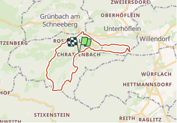

Length
13.9 km

Max alt
793 m

Uphill gradient
501 m
Km-Effort
21 km

Min alt
475 m

Downhill gradient
502 m
Boucle
Yes

Signpost
Creation date :
2022-02-16 17:04:44.408
Updated on :
2022-03-03 16:09:36.689
4h40
Difficulty : Medium

FREE GPS app for hiking
 SityTrail
IGN / Geographical institutes
SityTrail Plus
The world is yours!
About
Trail On foot of 13.9 km to be discovered at Lower Austria, Bezirk Neunkirchen, Gemeinde Schrattenbach. This trail is proposed by SityTrail - itinéraires balisés pédestres.
Description
Trail created by Gemeinde Schrattenbach.
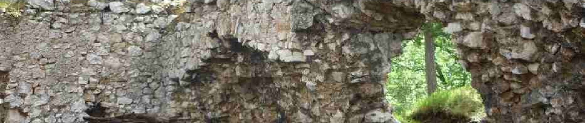
Photos


Positioning
Country:
Austria
Region :
Lower Austria
Department/Province :
Bezirk Neunkirchen
Municipality :
Gemeinde Schrattenbach
Location:
Unknown
Start:(Dec)
Start:(UTM)
574988 ; 5292638 (33T) N.
Comments